
The Caribbean Sea Digital Twin Prototype (CSDTp) Data Workshop and Hackathon
Date: 2023-10-03 - 2023-10-05
Location: Oranjestad, Aruba
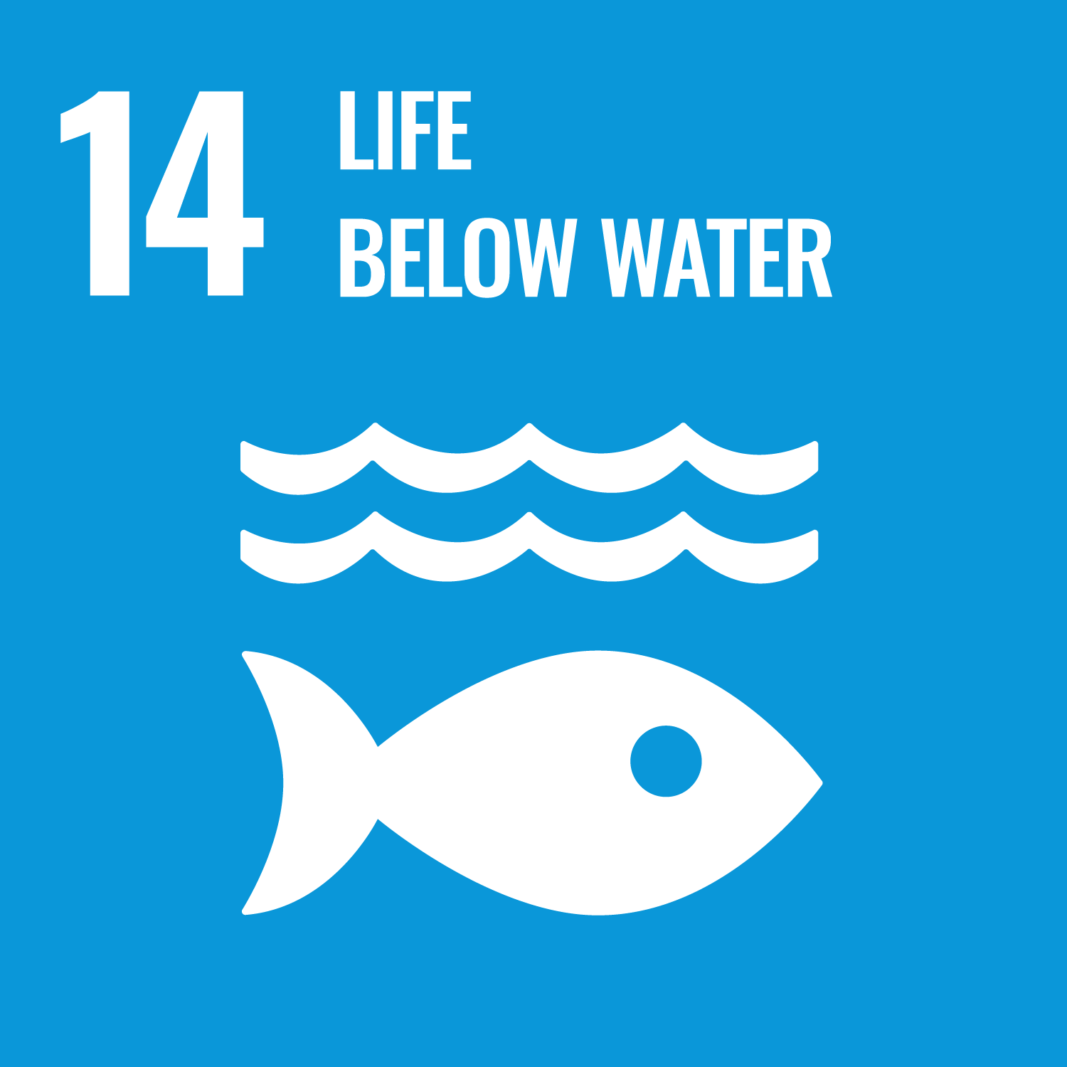
Indicators: 14.2.1
Partners: GEMS Ocean Programme, UNEP’s Cartagena Convention Secretariat/Caribbean Environment Programme (CEP), UNESCO-IOC (IOCARIBE), The Breda University of Applied Sciences (BUas), Netherlands Ministry of Infrastructure and Water Manage¬ment (IWM)
Topic: Marine
Overview
Marine Spatial Planning (MSP) is a public process of analyzing and allocating the spatial and temporal distribution of human activities in marine areas to achieve ecological, economic and social objectives that have been specified through a political process.
1 MSP is not an end in itself but a practical way to create and establish a more rational use of marine space and the interactions among its uses, to balance demands for development with the need to protect the environment, and to deliver social and economic outcomes in an open and planned way